Route of the Resia Lake’s race
The route around the biggest
lake in South Tyrol
You will not be able to find a more beautiful place for a running event. The run around Lake Resia is exclusively on the closed footpath or cycle path and always directly along the shore.
The lake circuit is a scenic treat for every participant.
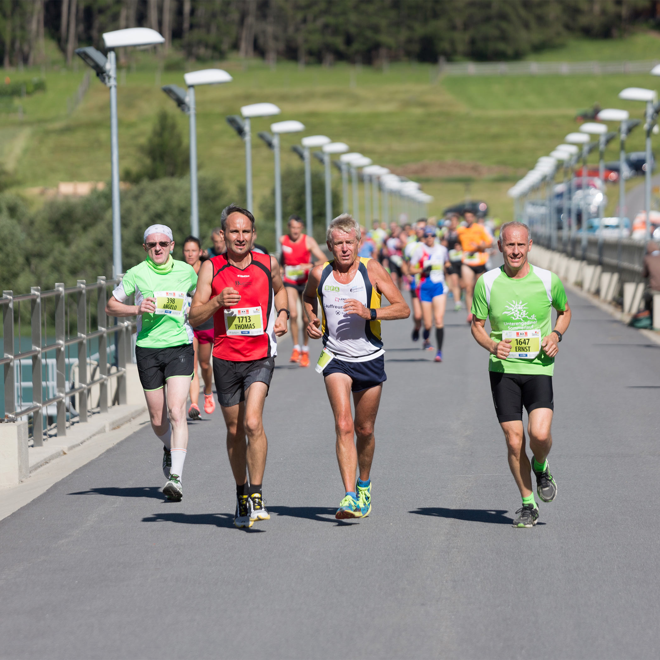
A special highlight is the crossing of the 460-metre-long imposing dam.
Track description
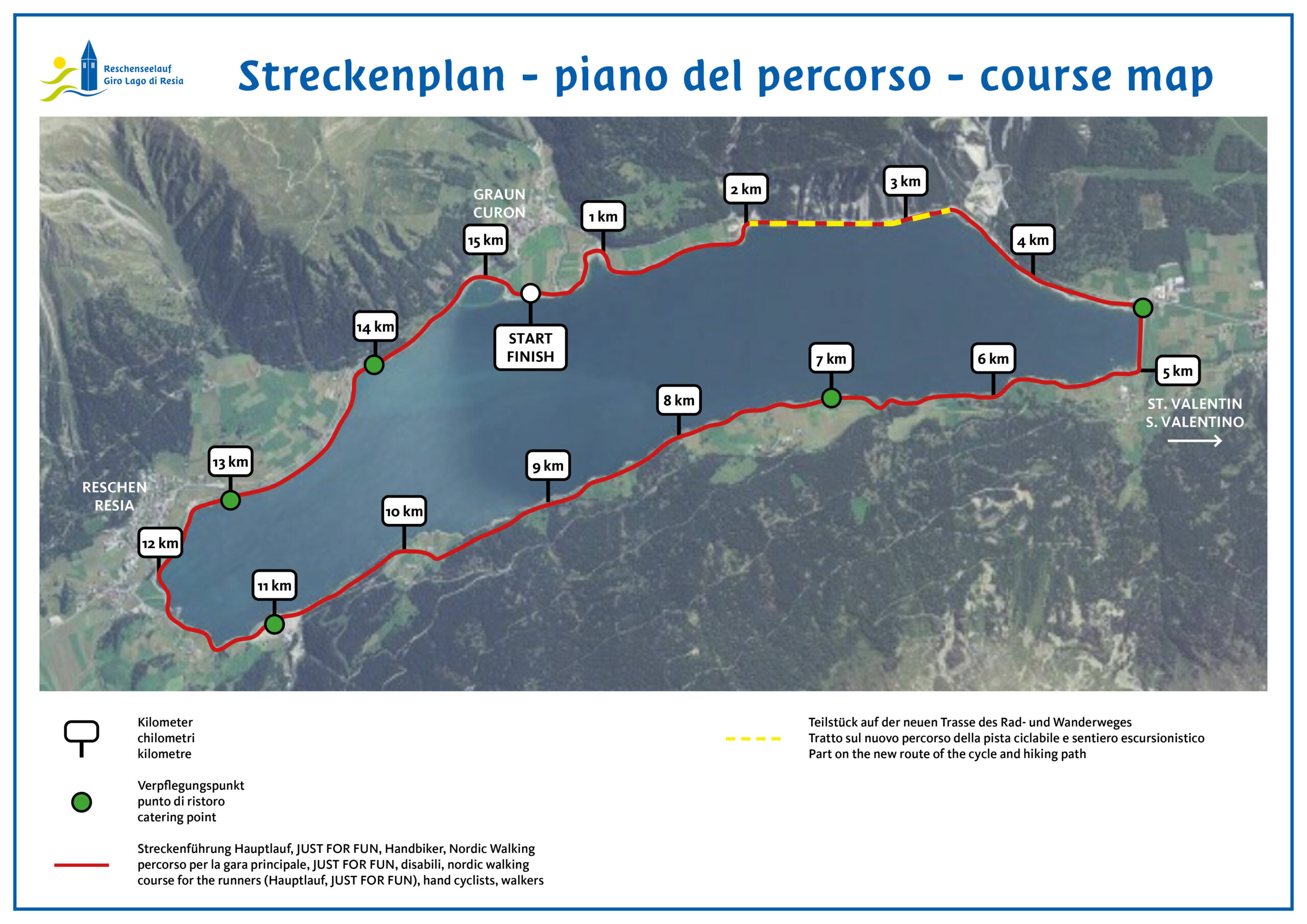
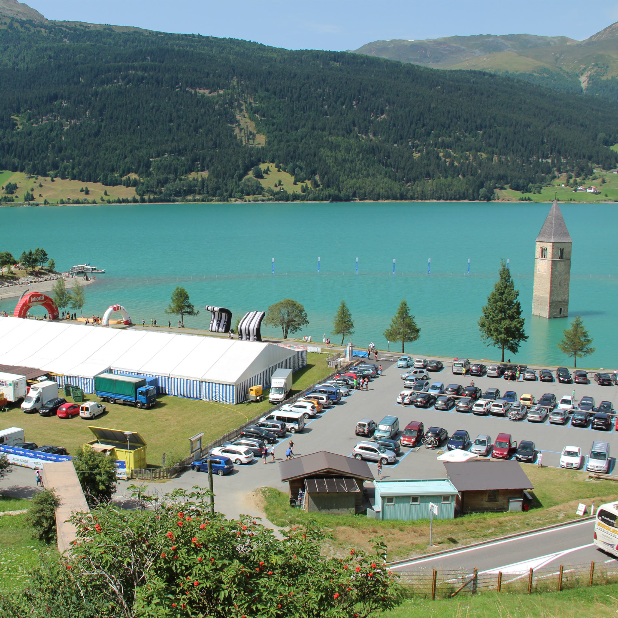
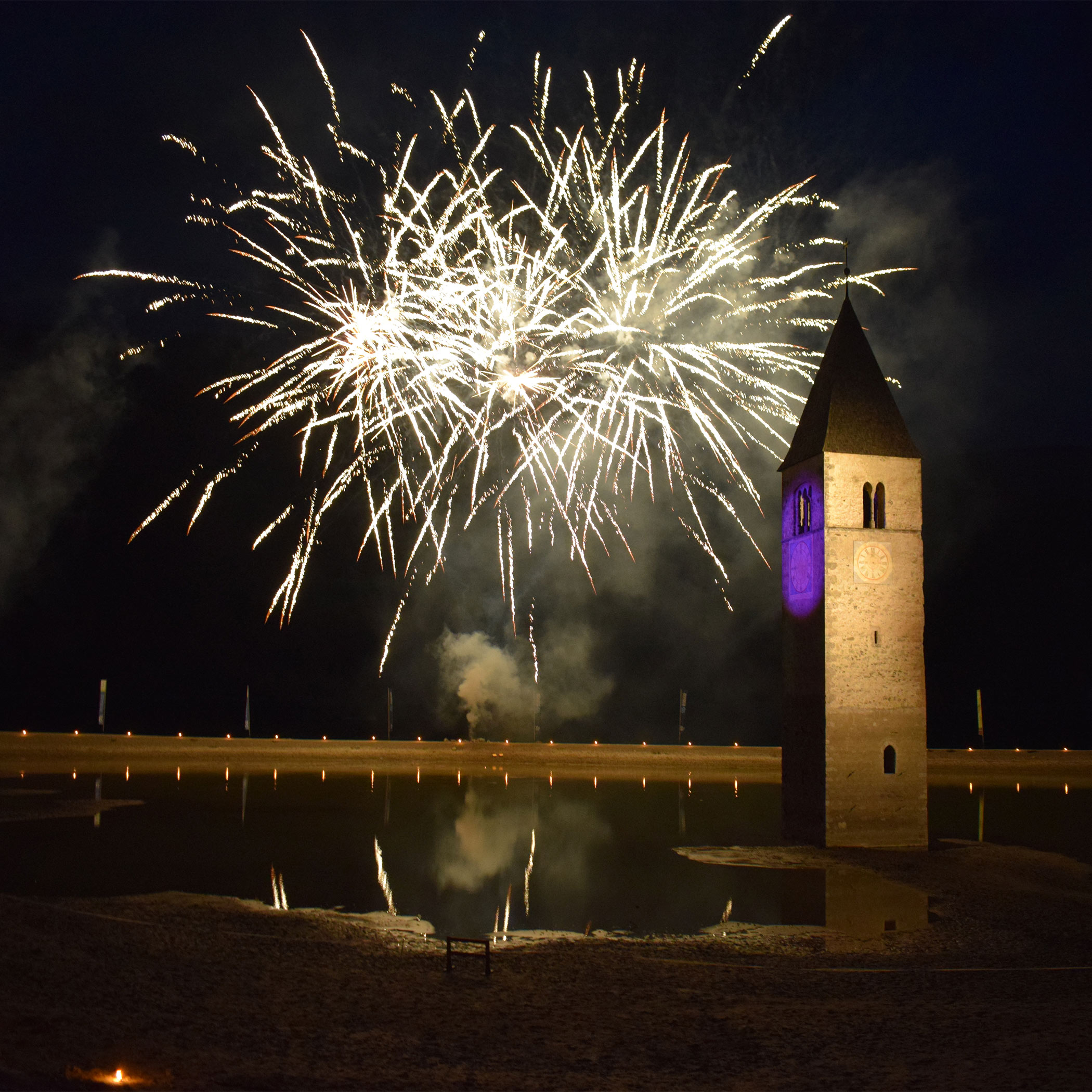
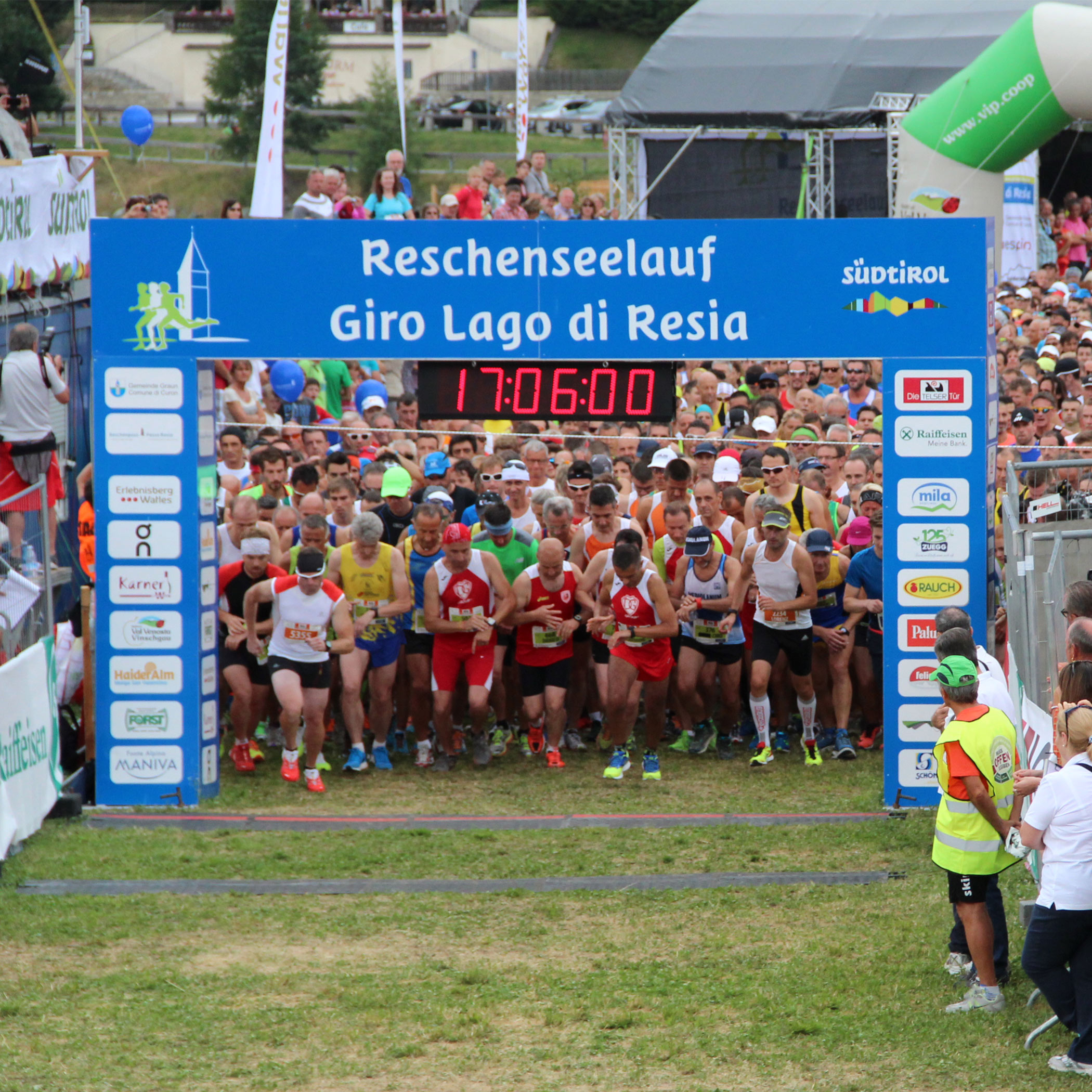
- The start is in Graun at the well-known church tower in the lake, at 1,450 m above the sea level.
- The first section of the trail is flat and runs south for about 5 km towards St. Valentin.
- Nature lovers can enjoy the beautiful view of the highest mountain in South Tyrol, the Ortler (3,905 m), again and again on the way south.
- Then you cross the dam wall and on the opposite side there is a slightly hilly and partly shady section towards the valley station of the Schöneben ski area up to kilometre 11.
- The route continues to the harbour facility in Reschen.
- On the last flat kilometres, the participants run mostly on gravel and can look forward to a direct view of Lake Resia.
- In the background, the church tower shines in the water.
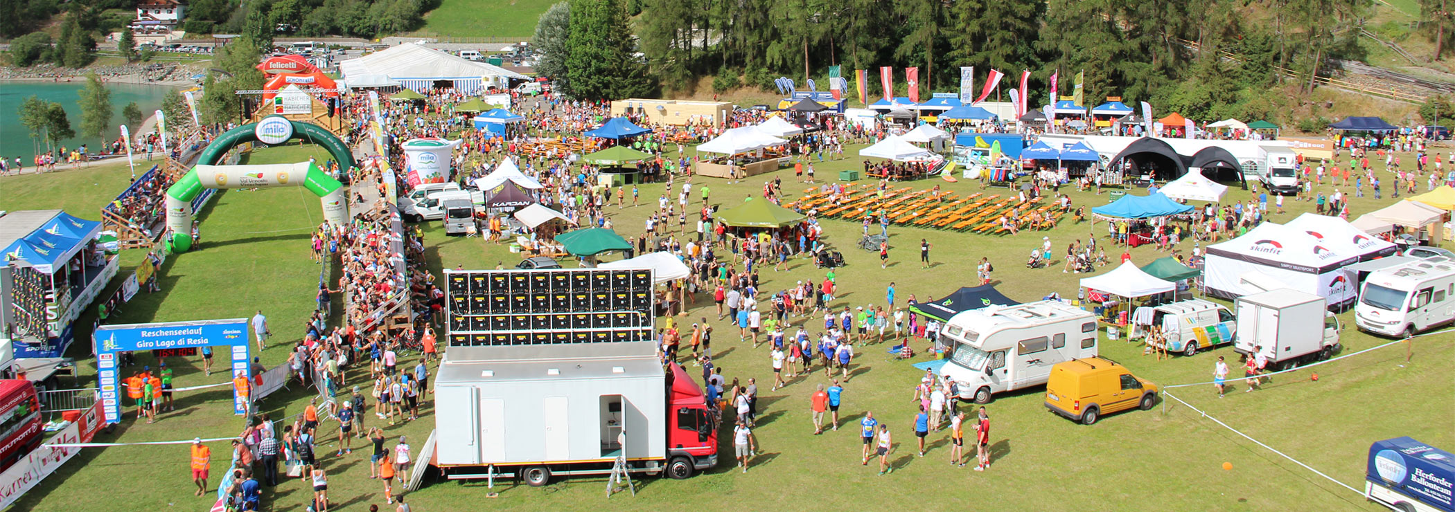
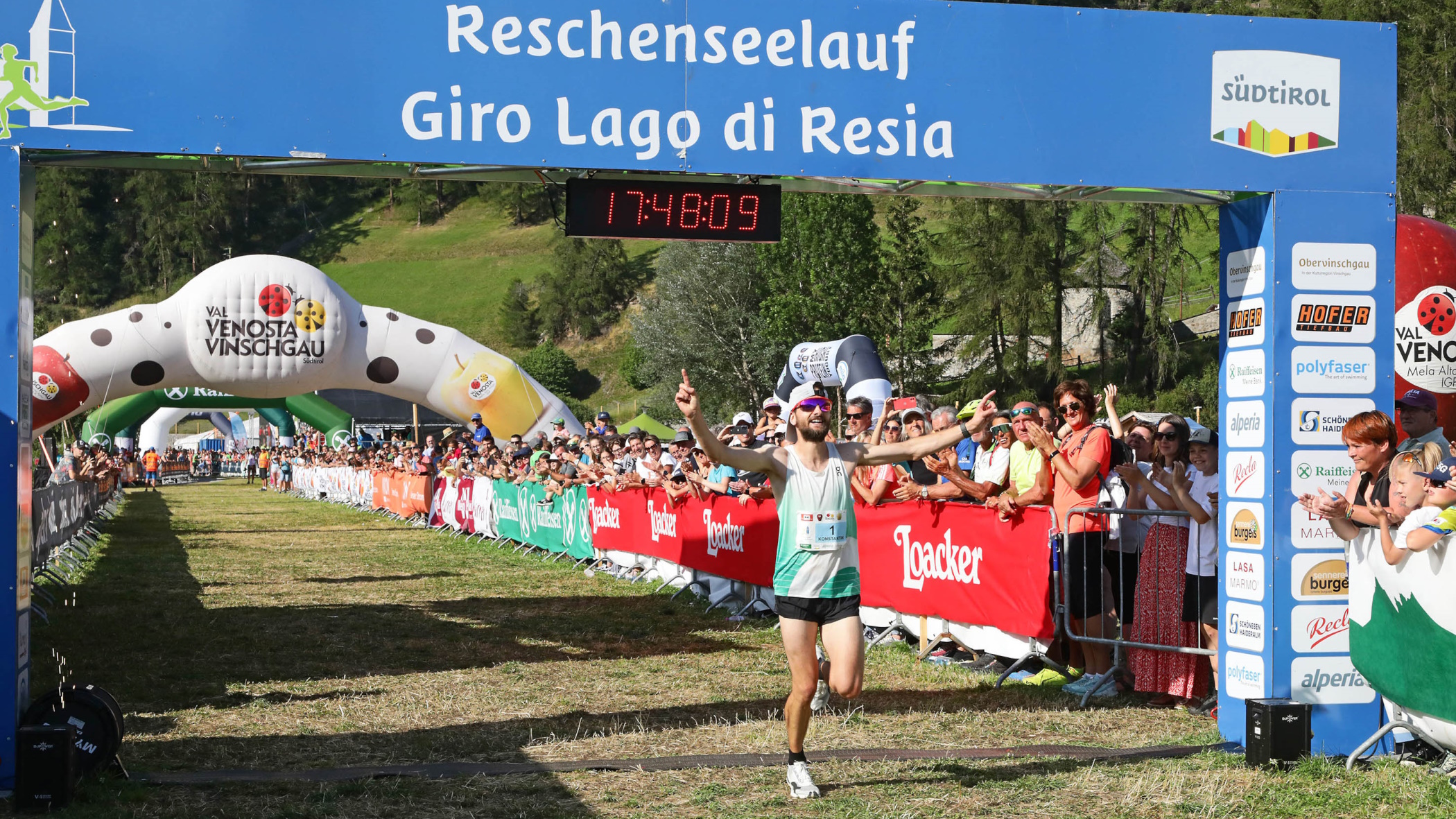
- The spectacular finish leads past the audience to the finish.
Track length
15.1 km (80% asphalt – 20% gravel)
Track profile
Altitude difference: 90 m


